City Maps

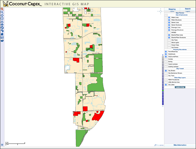
GIS on the Web
Interactive web mapping application for the viewing and querying of:
- Current GIS Infrastructure Data Layers
- Work Order History by Asset
- Engineering As-Builts and P&Z Site Plans
- Drainage TV Inspection Archive
Instructions for accessing scanned files via the "GIS on the Web Application".
coconutcreek.net/GIS
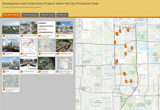
City Projects, Parks, and Art
Interactive web app to tour citywide locations of current/future projects, parks & trails, and public art.
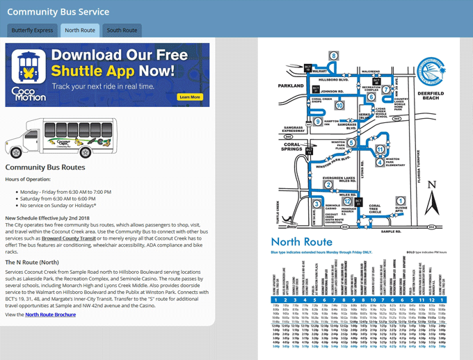
coconutcreek.gov/CityProjectsTransportation: Butterfly Express, Community Bus Service, Route, and Schedule
A collection of maps showing the Butterfly Express and Community Bus stop locations plus route schedules.
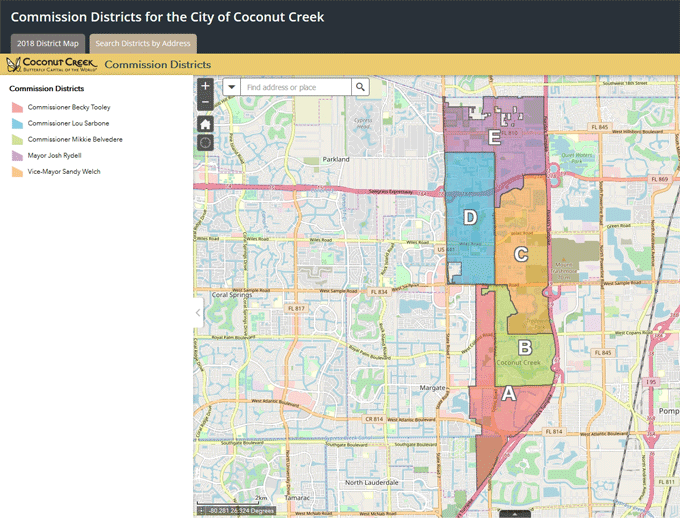
coconutcreek.gov/CityTransportationCommission Districts
Current Commission District map plus an interactive search utility to help identify representative by address.
coconutcreek.gov/CityCommissionDistrictsUrban Planning
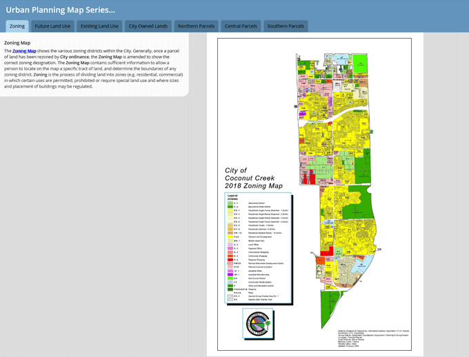
The following maps display Zoning & Land Use information, City owned parcels, and aerial photography.
coconutcreek.gov/UrbanPlanningGIS Map Books
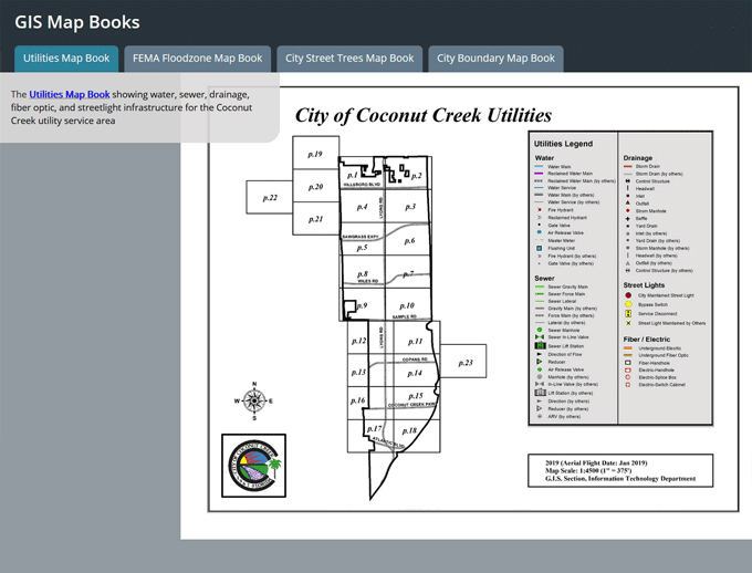
Detailed multi-page atlases showing utility infrastructure, FEMA flood zones, City approved street trees, and municipal boundary locations.
coconutcreek.gov/GISMapBooksCity-Wide Responsibilities
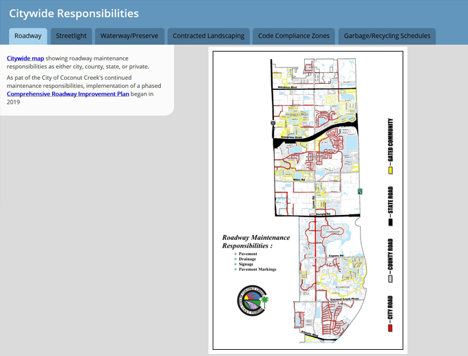
A collection of maps showing various citywide maintenance responsibilities, as well as City coverage for Code enforcement and garbage/recycling.
coconutcreek.gov/CitywideResponsibilities
